Simple street map maker
Create informative and visually engaging street maps with our intuitive platform, EdrawMax. Quick-start your mapping journey with professionally designed templates and vector symbols.

Craft stunning and intricate street maps with EdrawMax
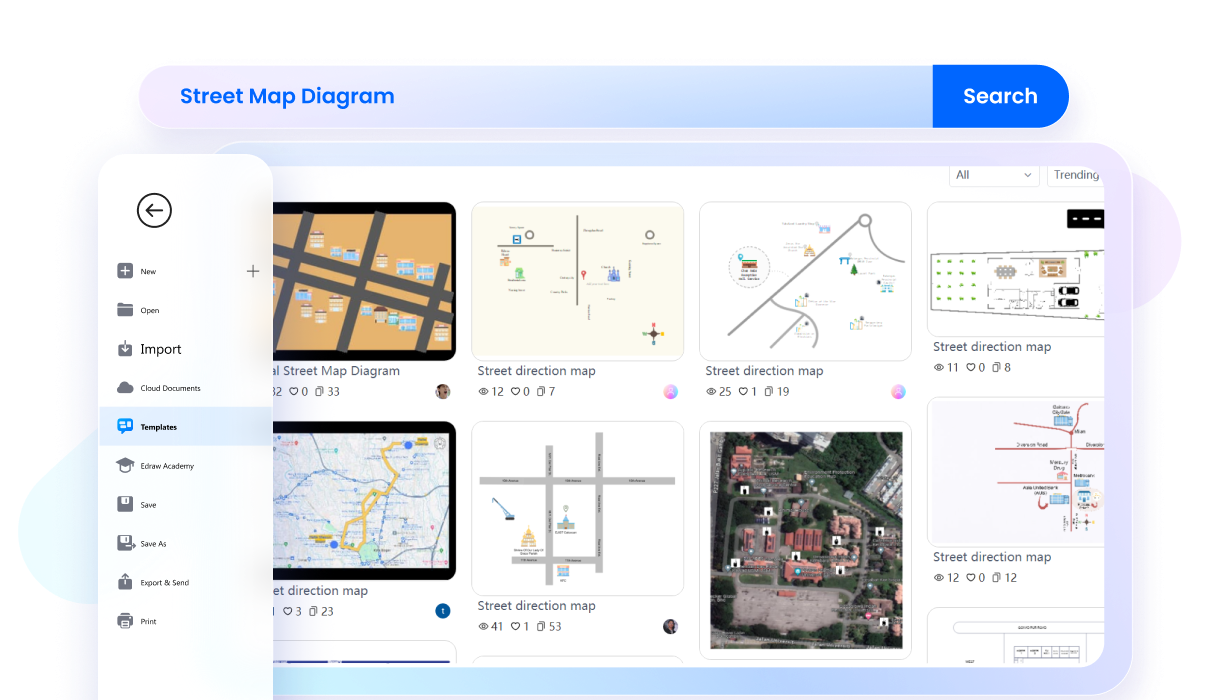
Explore a massive catalog of street map templates
With EdrawMax, you can edit a task-relevant premade street map from the template community in minutes. It has a collection of 3D street maps, city street maps, directional maps, and road maps. So, explore the community, find the right fit, and kickstart your journey of plotting routes.

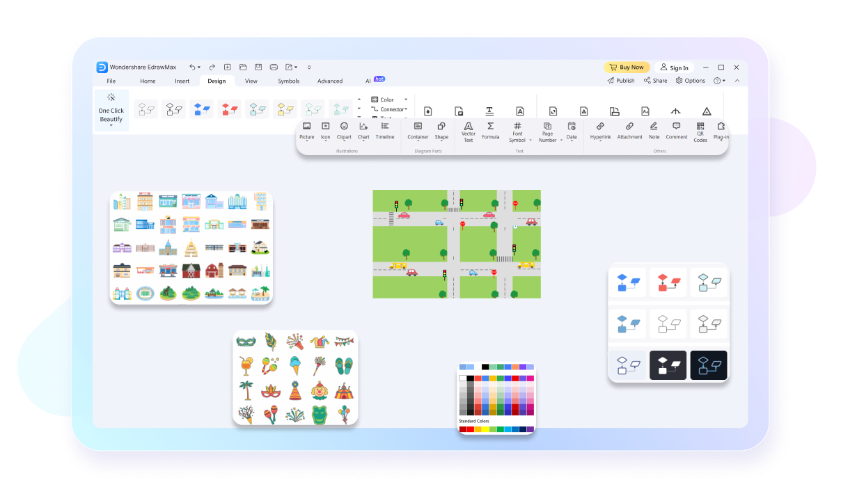
Customize your street maps to perfection
EdrawMax has a resourceful toolkit, featuring 26,000+ symbols, interactive infographics, and design elements. Use directional objects to guide surrounding buildings like homes, gardens, and parks. Elevate your 2D street maps with precision tools and AI drawing assistance.

Transform your street maps into a slideshow
No need to switch platforms for presentations. EdrawMax has an automatic slideshow maker that produces extensive slides of your work. Just enable it from the View tab and start presenting directly. Or, you can also export the slides to PPT.

Design from anywhere, anytime
EdrawMax is designed to be compatible with multiple devices, including Linux, Windows, Android, iOS, and MacOS. So, whether you use a laptop, computer, or phone, accessing and editing your work is no issue. Just install the software and log into your Wondershare ID.

Why users choose EdrawMax?

Precise in design
EdrawMax offers various high-precision features like
auto-aligning for accurate designs, ensuring both visual
appeal and functional efficiency in various spaces.

Intuitive and beginner-friendly
EdrawMax's user-friendly interface and intuitive design
tools make floor planning accessible to all, from
experienced architects to first-time users, fostering
creativity and turning visions into reality effortlessly.

Affordable and cost-effective
EdrawMax's free version and flexible paid plans make it a
cost-effective choice, allowing efficient resource
allocation and empowering users to create intricate floor
plans without high cost.

Efficient and time-saving
EdrawMax streamlines floor planning with robust features
and vast library of templates and symbols, saving time for
architects, designers, and homeowners to bring ideas to
life promptly.
How to make a street map on EdrawMax?
FAQs about street map maker
-
Is it free to make a street map on EdrawMax?Yes, EdrawMax has a free plan for freshers. It covers all essential drawing tools, 20,000+ user-generated templates, and 26,000+ symbols. All you need to do is register on the software, find a suitable template, and start editing.
-
How can I find the street map symbols that I need?EdrawMax features a range of street symbols, including 3D landmarks, map pointers, vehicles, street signs, directional maps, and subways. Navigate to the symbol library and head to the Engineering Diagrams > Maps > Desired Symbols. Import them for easy access.
-
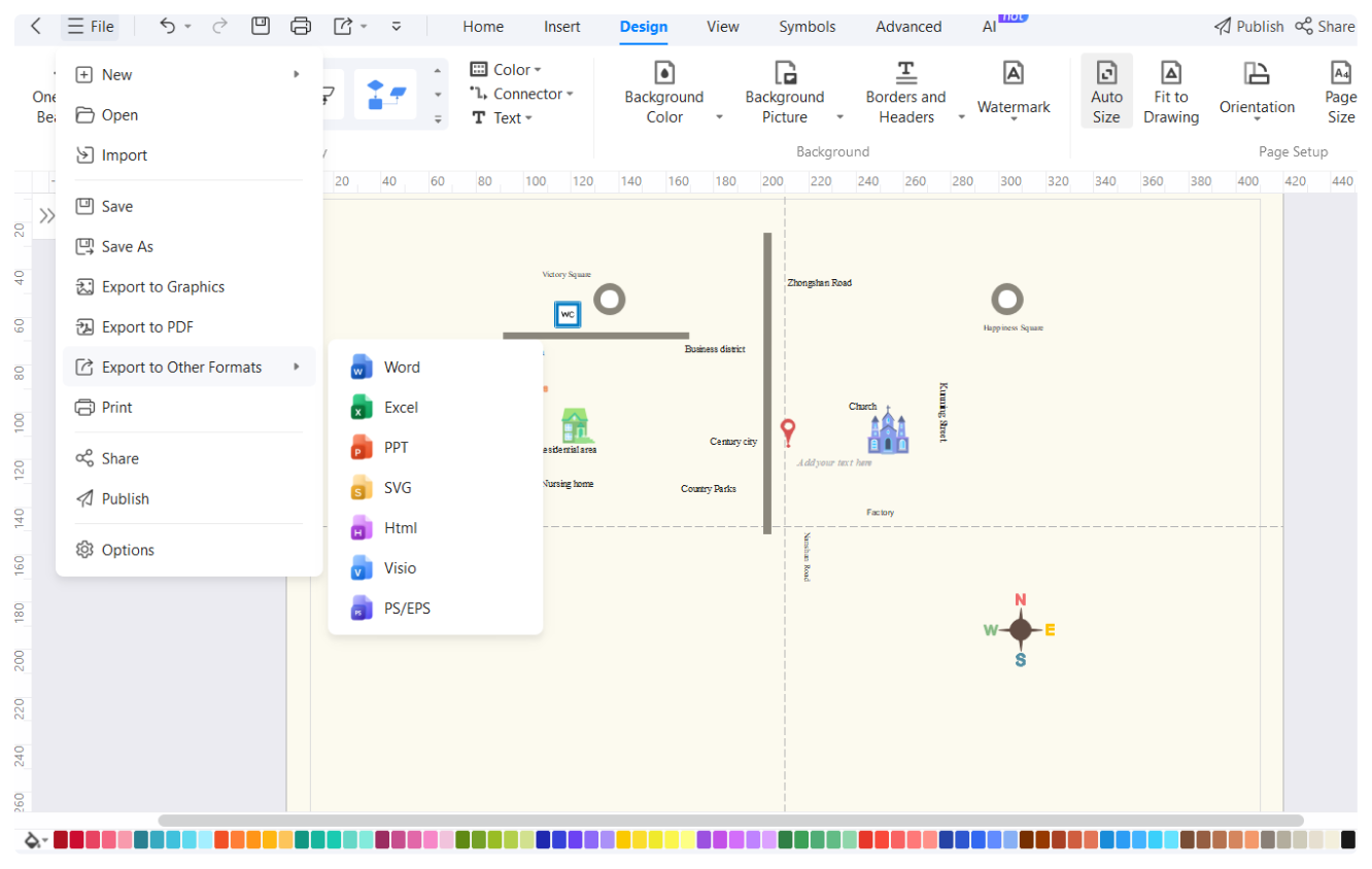
How many export formats are supported by EdrawMax?EdrawMax supports over ten formats, including Visio, PNG, JPG, PDF, MS Office, and more. You can download any diagram in a desired format by clicking Export and selecting a suitable embedding option from the quick-access toolbar.
-
Is my data safe in EdrawMax?Yes, of course. EdrawMax is a secure platform that keeps your diagrams encrypted. So, any file exported in EDDX format is encrypted with high-level safety, keeping your confidentiality intact.
-
How do I make a presentation of my street map?EdrawMax has a Presentation Mode to display your street maps in full screen. Enable it from the View tab, click Create a Slideshow, and select square areas of your diagrams. Apply the preview effect and present it without interface distractions.
-
Can I export my slides from EdrawMax?Yes, of course. You can present your slides directly from EdrawMax or export them to PPT. Navigate to the View tab > Presentation Mode, and click Export PPT.
-
Can I print my street plans from EdrawMax?Yes, of course. Just visit the File menu from the top-left corner and click Print. Adjust settings and produce a hard copy of your diagrams.
-
Can I import my street plans from Visio?Yes. EdrawMax supports importing diagrams and data from multiple platforms including Visio. Visit the File menu from the top-left corner and click Import > Import from Visio.
-
How do I access EdrawMax street plan projects on my phone?EdrawMax is a cross-platform software, allowing access from your Android phone or iOS. Install EdrawMax, log into your account, and start editing. You can also use it from the browser.


Street maps templates on EdrawMax