Free site plan software
Create a site plan with property boundaries, buildings, driveways, utilities, landscaping, labels, dimensions, and scale. EdrawMax provides editable templates, precision tools, AI assistance, and multiple export formats for residential, commercial, and event site planning.
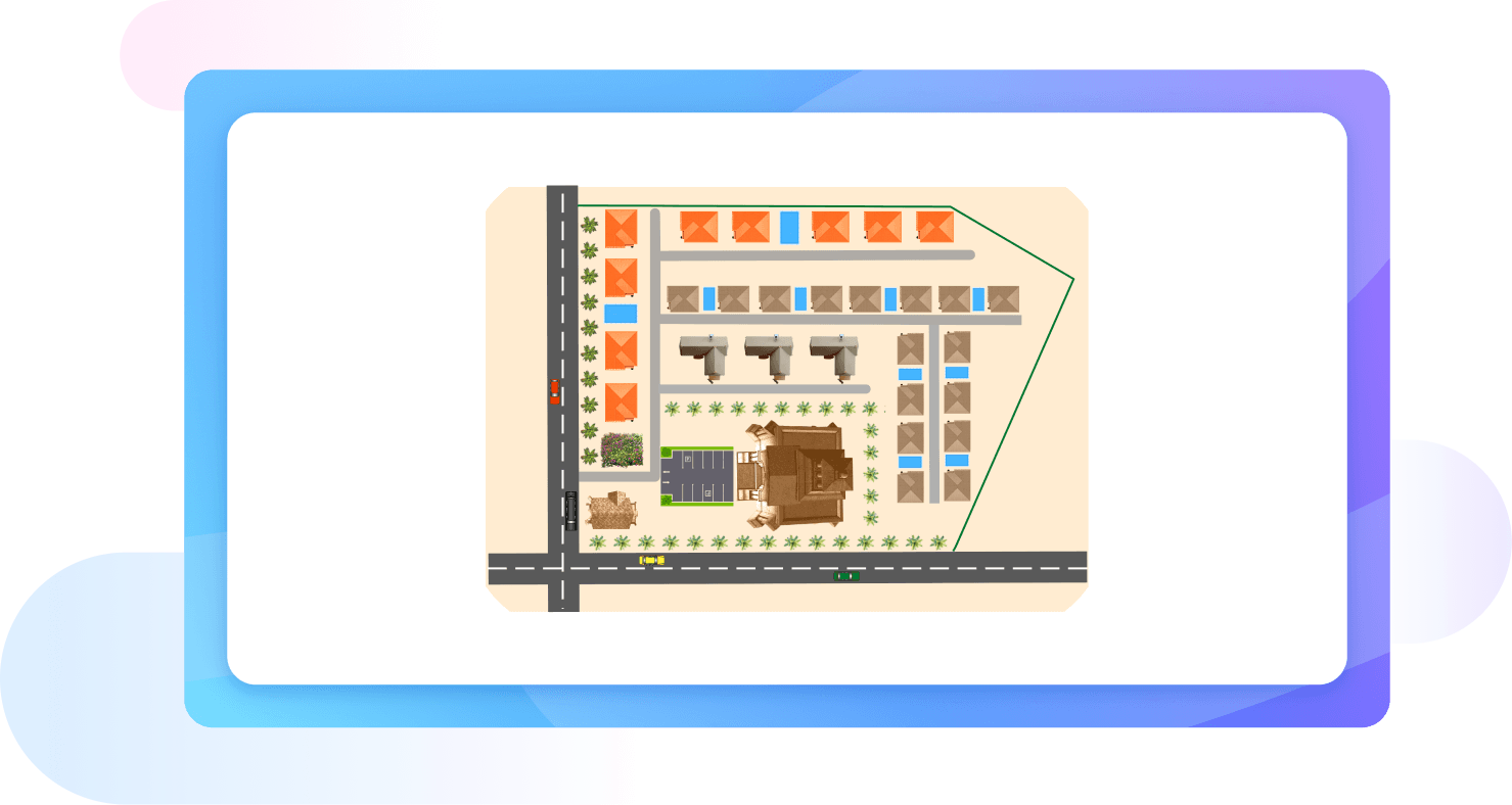
Why Use EdrawMax Site Plan Maker?
Say goodbye to stressing over creating the right layout from scratch and switch to the EdrawMax template community. Here, you can find easy-to-edit campus plans, shopping malls, office buildings, and more. Take advantage of the diverse range of site plan examples, and modify them to your own requirements.
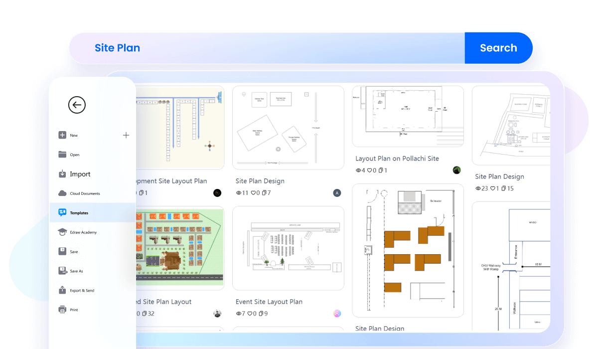
This site plan creator has built-in precision tools to scale properties and reduce bottlenecks. It allows you to adjust the scale and dimensions of a site plan for better accuracy. Also, when you move an element from the diagram, it automatically shows its correct proportions to help you with the measurements.
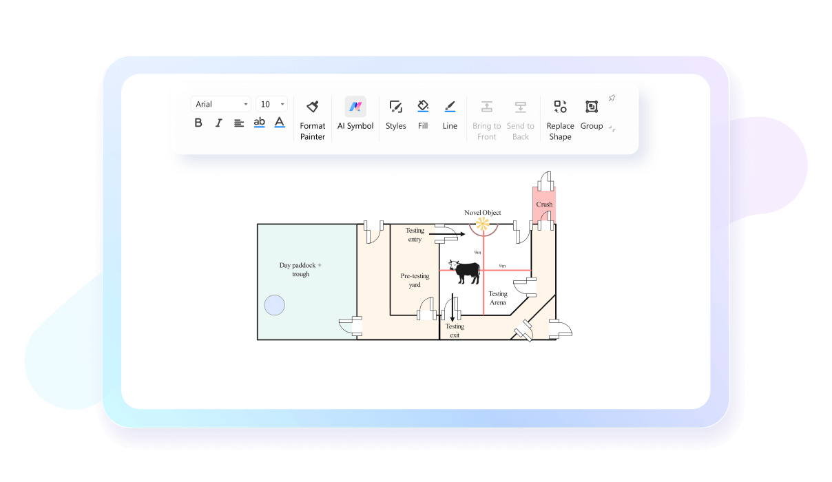
Experiencing a roadblock? No worries, use Edraw AI to answer your queries and produce blueprints of your site in minutes. Just give a detailed command and wait for the AI to optimize your property plans. You may need to ask for multiple outputs to get the best results.

With EdrawMax’s intuitive interface, you do not have to be a designer or an architect. It features drag-and-drop symbols, interactive elements, and an infinite canvas to help beginners get a head start. Plus, the editing panel has video tutorials for anyone stuck while diagramming.
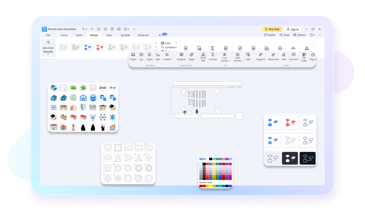
Our site plan maker comes with a presentation mode that transforms your diagrams into a fully-fledged slideshow. It showcases significant portions of your work for discussion and feedback. Once complete, preview them from the canvas in full screen or export them in a PPT.

EdrawMax has multi-export and import functionality. Simply put, you are free to download your work in more than ten popular formats like Visio, PNG, PDF, etc. Not only this, but it also supports Visio and CAD imports. So you can always catch up on projects and edit them further.

How to Make a Site Plan in 3 Simple Steps
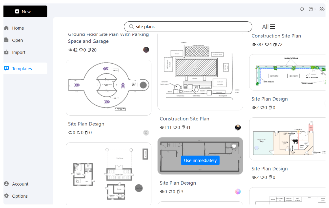
Step 1: Choose a template
Start with a site plan or floor plan template that matches your property type, or open a blank drawing.
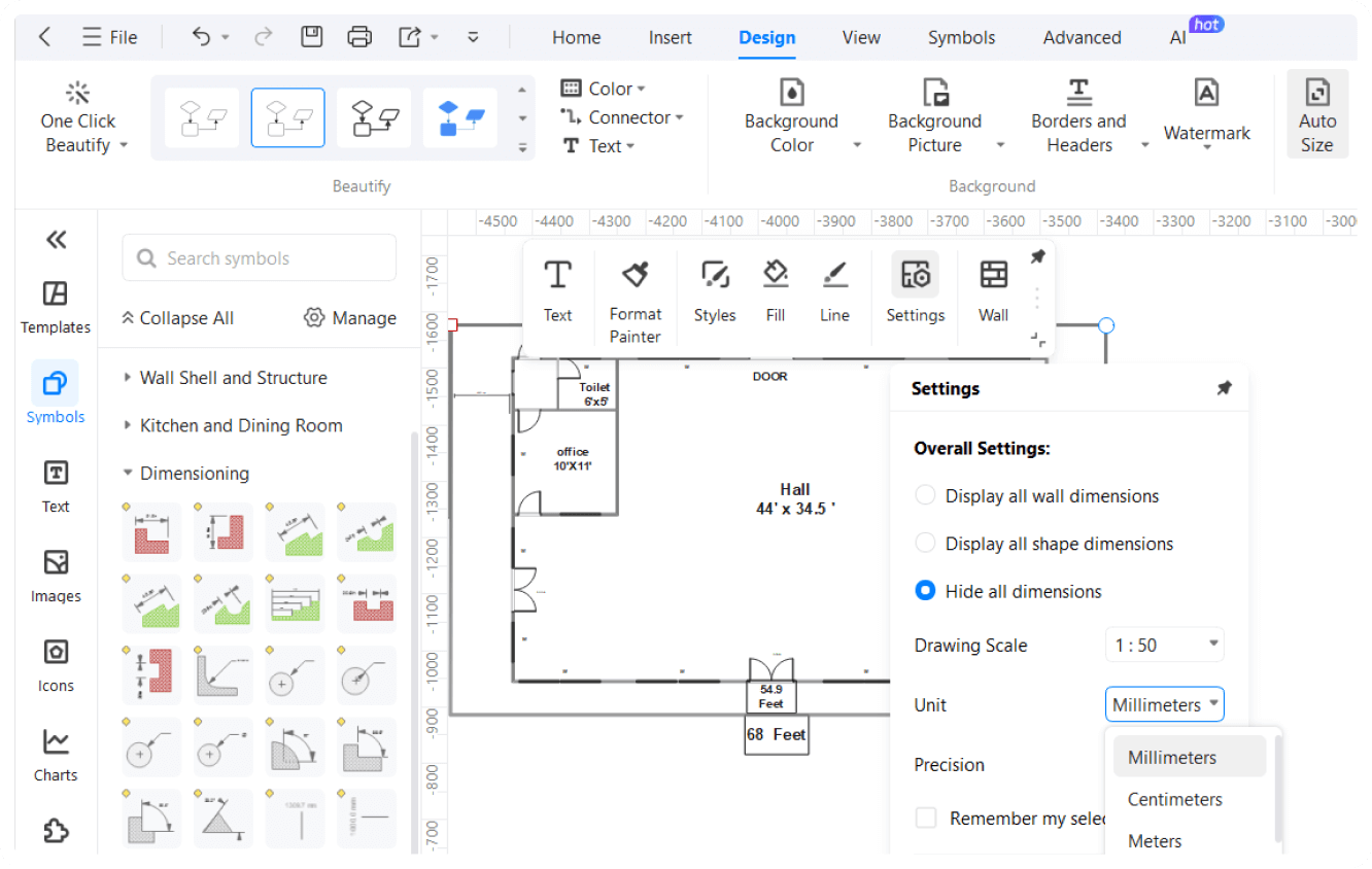
Step 2: Set scale and add site features
Define the drawing scale, then add property boundaries, buildings, driveways, paths, utilities, landscaping, labels, and dimensions.
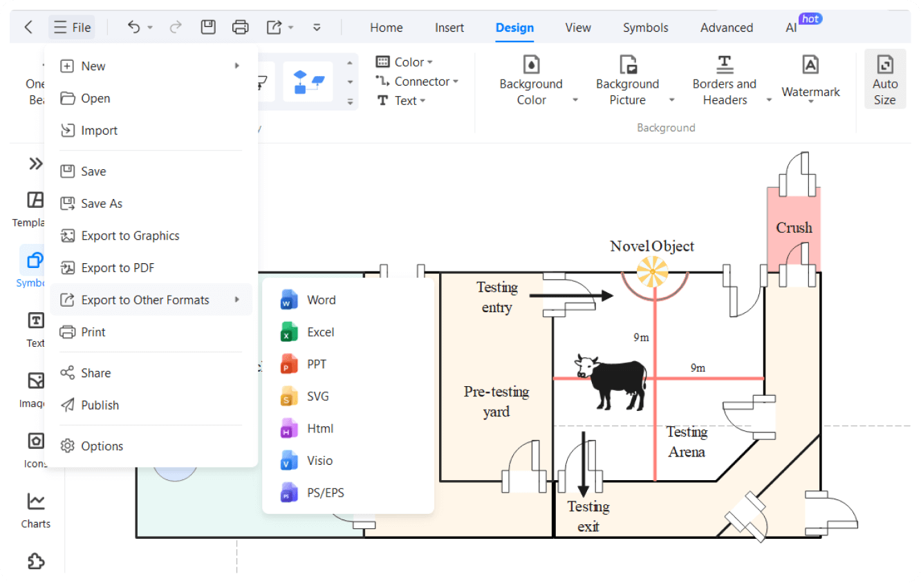
Step 3: Review and export
Check measurements, access routes, labels, and site details, then export the plan as PDF, image, Visio, or another required format.
What our users say
More Site Plan Tools
Explore related diagram and planning tools for adjacent tasks.
FAQs About EdrawMax Site Plan Tools
Stop drawing. Start describing.
Create an editable first draft with AI, then refine the diagram with EdrawMax tools and templates.
Free downloadGet free templates (AI & Web)
Free Site plan templates from EdrawMax